
Lee (North Carolina)
URGENT - WINTER WEATHER MESSAGE
NATIONAL WEATHER SERVICE RALEIGH NC
414 PM EST THU JAN 28 2010
A WINTER STORM WILL PRODUCE FROZEN PRECIPITATION ACROSS MOST OF CENTRAL NORTH CAROLINA FRIDAY EVENING THROUGH SATURDAY.
414 PM EST THU JAN 28 2010
...WINTER STORM WARNING IN EFFECT FROM 6 PM FRIDAY TO MIDNIGHT EST SATURDAY NIGHT...THE NATIONAL WEATHER SERVICE IN RALEIGH HAS ISSUED A WINTER STORM WARNING WHICH IS IN EFFECT FROM 6 PM FRIDAY TO MIDNIGHT EST
SATURDAY NIGHT. THE WINTER STORM WATCH IS NO LONGER IN EFFECT.
BASIS...A COLD FRONT WILL PUSH SOUTH THROUGH CENTRAL NORTH CAROLINA TONIGHT. DRAMATICALLY COLDER AIR BEHIND THE FRONT WILL SURGE INTO CENTRAL NORTH CAROLINA ON FRIDAY. A LOW PRESSURE SYSTEM WILL DEVELOP ACROSS THE LOWER MISSISSIPPI RIVER VALLEY ON FRIDAY...MOVE EAST
ACROSS THE DEEP SOUTH FRIDAY NIGHT...THEN EAST NORTHEAST OFF THE CAROLINA COAST ON SATURDAY.
PRECIPITATION TYPES AND ACCUMULATION...DAMAGING ICE ACCUMULATIONS OF A QUARTER TO A HALF INCH ARE EXPECTED...IN ADDITION TO LIGHT SNOW AND SLEET ACCUMULATIONS. PRECIPITATION IS EXPECTED TO BEGIN AS A
BRIEF MIX OF RAIN AND SNOW FRIDAY NIGHT BEFORE QUICKLY TRANSITIONING TO SLEET AND FREEZING RAIN EARLY SATURDAY MORNING.
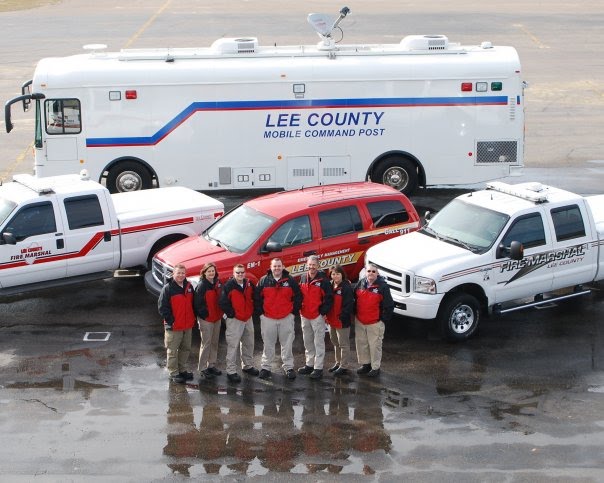
We have completed a situational awareness briefing with Emergency Personnel from across the county.
We will continue to provide pertinent information as it becomes available. I have included the latest warning issued by the National Weather Service below.
Our lasting briefing calls for sleet and freezing rain to start late tomorrow evening then change over to snow after midnight. We may see the precipitation switch between sleet, freezing rain and snow several times. We could see accumulations of 2 to 6 inches of snow and up to 3/8 inch of ice. This will be followed by extremely cold temperatures and winds blowing from 10-15 MPH gusting to 25 MPH. Keep in mind any variation of the storm track could have detrimental effect on the storm totals.
At this time we are still planning a Level 3 activation of our EOC beginning at 19:00 on Friday and our office will remain open as needed. A Level 3 EOC activation is typically a "monitoring" phase. Notification will be made to those county agencies and Emergency Support Functions who would need to take action as part of their everyday responsibilities. The State emergency operation Center will be staffed with Division of Emergency Management staff.
Be safe...Be prepared,
Shane Seagroves
Emergency Services Director
No comments:
Post a Comment